Bigland And Haverthwaite, The Lake District, Cumbria, UK
This map was used for the JK92 meet. I ran on M21S (where S is supposedly
short, but really means 10.5K!!!)
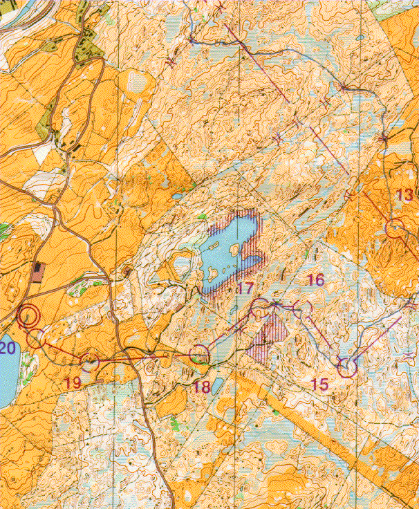
- Scale: 1:15000
- Contours: 5m
- Photogrammetry: Stirling Surveys, Spring '91
- Field work : Stirling Surveys
- Cartography : Stirling Surveys
- Copyright: NWOA 1992
- OS Grid : SD 360 830
- Stirling Surveys
- Stirling Enterprise Park
- Stirling
- FK7 7RP
- UK
Paul Tomblin / ptomblin+website@xcski.com