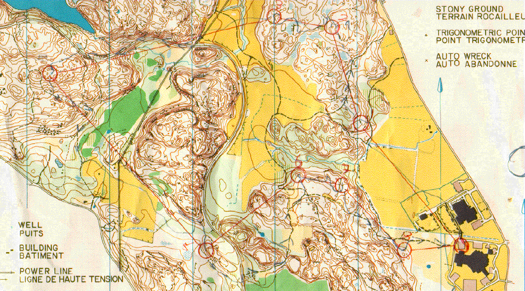
Gatineau Park Mines, Gatineau Park, Quebec, Canada
This map is used frequently for local meets in the National Capital Region.
The map has a long history, but the printing shown here dates from 1985.
The area is part of Gatineau Park, which has several orienteering maps, and
fantastic cross country ski trails. One of the days of the North American
Ski-Orienteering series of races in 1992 was held here in the park.

- Scale: 1:15000
- Contours: 3m
- Photogrammetry: ????
- Field work : Bill Anderson
- Mike Day
- Bruce Brenot
- Allan Gravelle
- Gord Hunter
- Megan Piercy
- Cartography : Allan Gravelle, 1985
- Copyright: Ottawa Orienteering Club
Paul Tomblin / ptomblin+website@xcski.com

