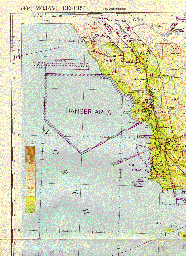
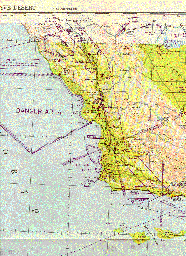
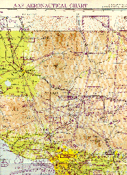
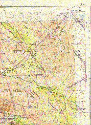
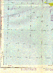
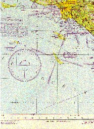
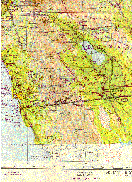
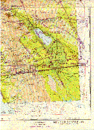
A scan of the 1:1,000,00 scale Mojave Army Air Force Aeronautical Chart Published by The U. S. Coast and Geodetic Survey May 1945. It covers the southern California coastal area from San Simian to Baja, Mexico and Porterville to Desert Center.
The chart depicts many Danger Areas over the military training and defense activity being conducted as a result of WWII. Also shown are radio-range facilities, course lights, and many airports which no longer exist. If anyone can add any information about civil/military aviation operations during that time, it would be appreciated. Of particular interest is information regarding the operation of the 12,000,000 acre (nearly 19,000 square miles) Desert Training Center established by General George S. Patton Jr. in April, 1942..
Click on any of the small thumbnails below to see the full size scan. The full size ones are HUGE (1276x1754).
 |
 |
 |
 |
 |
 |
 |
 |